EN▾
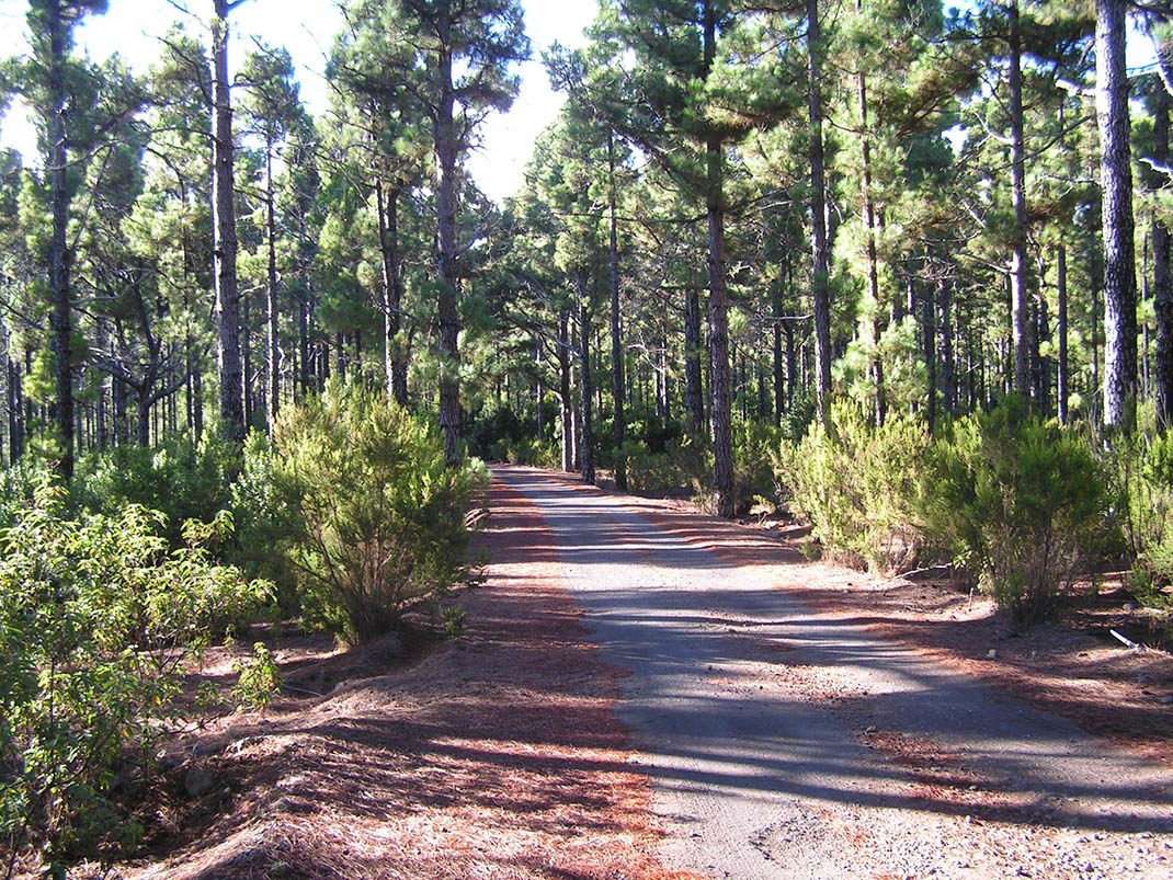
VM 18. Pista de Fuente Pedro
VM-18Motor Vehicles
This route passes through areas ravaged by the great fire of 2007, subsequently managed with the aim of restoring the pine forest and its undergrowth.
- Distance
- 4.6 km
- Elevation Gain
- 297 m
- Max Altitude
- 1288 m
- Min Altitude
- 1039 m
- Municipality
- San Juan de la Rambla
- Start
- P.K. 5,2 de la carretera TF-344 La Guancha a Icod El Alto
- End
- Pista Barranco de La Arena (n° 17), pasando por el área recreativa y zona de acampada “La Tahona” y por la zona de acampada “Barranco Fuente Pedro”.
Protected area: Parque Natural de Corona Forestal
Route data from the official Cabildo de Tenerife trail network.All Tenerife Routes