EN▾
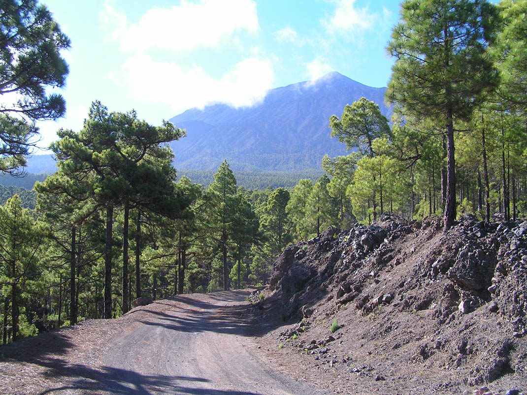
VM 19. Pista Fuente Santa
VM-19Motor Vehicles
This route takes you through the humid pine forest of Icod, along the slopes that descend from Mount Teide and which are often shrouded in a sea of clouds.
- Distance
- 14 km
- Elevation Gain
- 457 m
- Max Altitude
- 1218 m
- Min Altitude
- 1008 m
- Municipality
- Garachico, Icod de los Vinos
- Start
- Área recreativa “El Lagar”
- End
- La Montañeta, (T.M. de Garachico) en el P.K 9 de la carretera TF-373 Icod de Los Vinos-Puerto de Erjos, pasando por el área recreativa “Las Hayas”
Protected area: Parque Natural de Corona Forestal
Route data from the official Cabildo de Tenerife trail network.All Tenerife Routes