EN▾
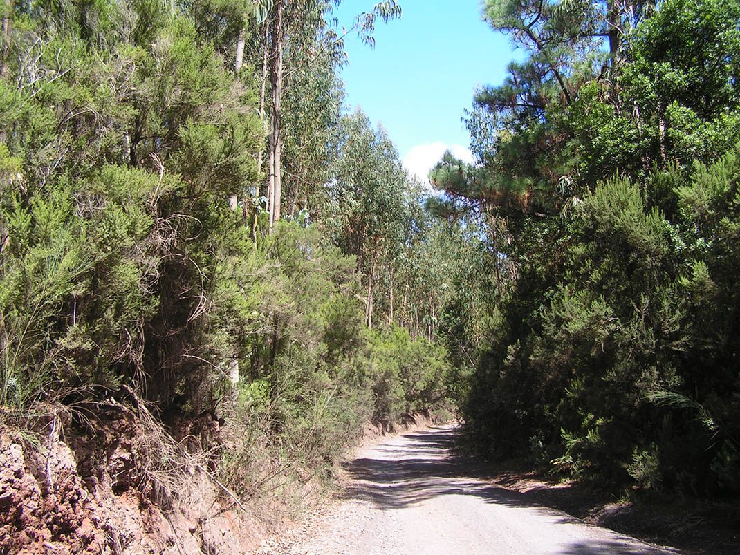
VM 4. Pista de El Rayo - Pista de El Fondo (1)
VM-4Motor Vehicles
This route for motor vehicles is a great way to explore the monteverde forest in its different stages of maturity.
- Distance
- 5.9 km
- Elevation Gain
- 153 m
- Max Altitude
- 1182 m
- Min Altitude
- 1058 m
- Municipality
- El Rosario, El Sauzal, La Matanza de Acentejo, Tacoronte
- Start
- Calle Grano de Oro
- End
- Cruce Pista El Rayo - Pista La Vica
Protected area: Paisaje Protegido de Las Lagunetas
Route data from the official Cabildo de Tenerife trail network.All Tenerife Routes