EN▾
VM 7. Pista de Las Goteras
VM-7Motor Vehicles
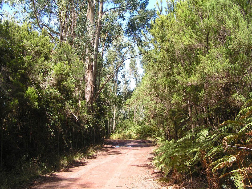
This route runs through stands of eucalyptus and tree heath that grow on rural properties within the Las Lagunetas Protected Landscape.
- Distance
- 2.4 km
- Elevation Gain
- 2 m
- Max Altitude
- 1289 m
- Min Altitude
- 1102 m
- Municipality
- El Rosario, Tacoronte
- Start
- P.K. 13,4 de la carretera TF-24 La Laguna-El Portillo
- End
- Cruce con la Pista del Rayo (n° 4 y 5).
Protected area: Paisaje Protegido de Las Lagunetas
Route data from the official Cabildo de Tenerife trail network.All Tenerife Routes