EN▾
BC 1.12 Arenas Negras
BC-1.12Cycling & Horse Riding
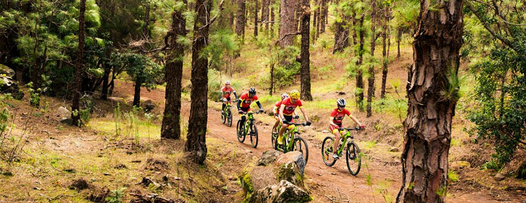
This trail brings you up close to the impressive volcanic landscape of Garachico, dominated by the contrasting colours of the vegetation and the terrain.
- Distance
- 8.3 km
- Elevation Gain
- 124 m
- Max Altitude
- 1362 m
- Min Altitude
- 1229 m
- Municipality
- Garachico, Icod de los Vinos
- Start
- Cruce con BC-1 en km 73,413
- End
- Área Recreativa Arenas Negras
- Type
- 2
Protected area: Parque Natural de Corona Forestal
Route data from the official Cabildo de Tenerife trail network.All Tenerife Routes