EN▾
BC 1.4 Las Lagunetas
BC-1.4Cycling & Horse Riding
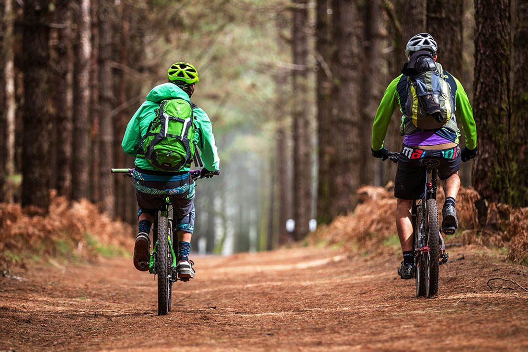
An inviting route taking you through a dense forest of Canary Island pine, replanted in the mid-20th century in the Las Lagunetas Protected Landscape.
- Distance
- 5.7 km
- Elevation Gain
- 341 m
- Max Altitude
- 1415 m
- Min Altitude
- 1251 m
- Municipality
- El Rosario, El Sauzal, La Matanza de Acentejo, La Victoria de Acentejo
- Start
- Cruce con BC-1 en km 16,054
- End
- Las Lagunetas
- Type
- 2
Protected area: Paisaje Protegido de Las Lagunetas
Route data from the official Cabildo de Tenerife trail network.All Tenerife Routes