EN▾
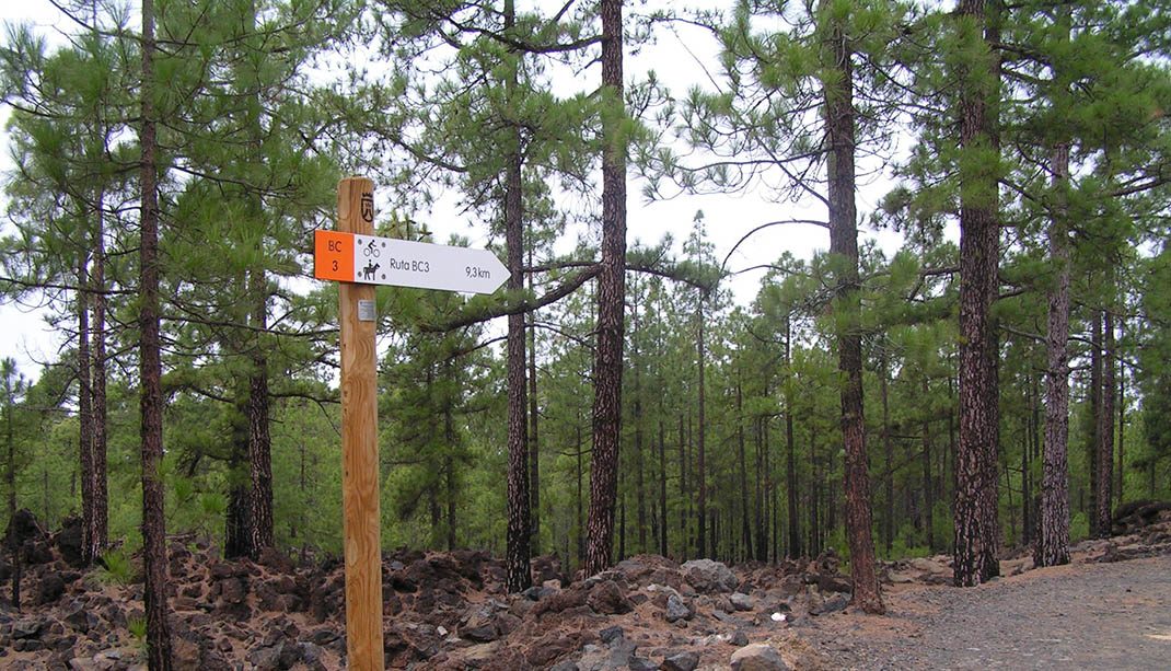
BC 3 Pinar de Chío
BC-3Cycling & Horse Riding
This route offers a visual feast as you immerse yourself among lava fields and Canary Island pines with an amazing capacity to adapt to their surroundings.
- Distance
- 9.3 km
- Elevation Gain
- 306 m
- Max Altitude
- 1283 m
- Min Altitude
- 1087 m
- Municipality
- Guía de Isora, Santiago del Teide
- Start
- En pk 18 de la carretera TF-38
- End
- En pk 18,7 de la carretera TF-38
- Type
- 4
Protected area: Parque Natural de Corona Forestal
Route data from the official Cabildo de Tenerife trail network.All Tenerife Routes