EN▾
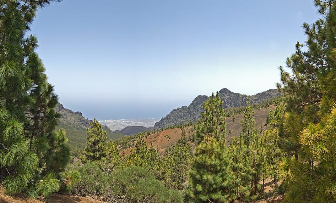
PR TF 35.4 Camino a Candelaria (Aguamansa - Crucita)
CC-02.1Hiking
The Camino a Candelaria is an old pilgrims’ trail linking the towns of Aguamansa and Candelaria.
- Distance
- 4.5 km
- Difficulty
- Medium
- Elevation Gain
- 983 m
- Max Altitude
- 1988 m
- Min Altitude
- 1078 m
- Municipality
- Arafo, La Orotava
- Start
- Aguamansa, proximidades de las instalaciones del Cabildo de Tenerife (Pk 15,5 de la carretera TF-21).
- End
- La Crucita (PK 30 de la carretera TF-24).
- Type
- 4
Protected area: Parque Natural Corona Forestal
Route data from the official Cabildo de Tenerife trail network.All Tenerife Routes