EN▾
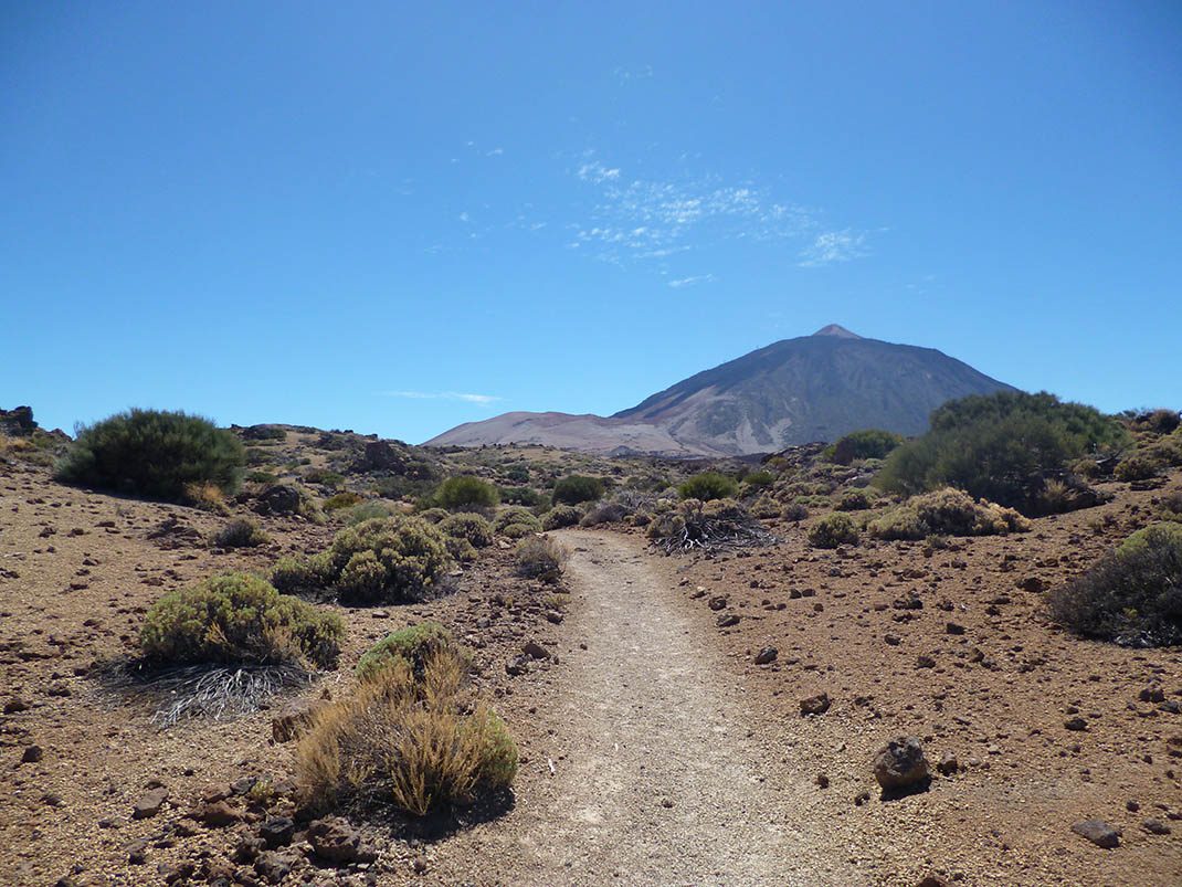
PNT 06 Montaña de los Tomillos
PNT-06Hiking
This route runs along the La Fortaleza path for the first 20 minutes, before splitting off at a fork near Roque del Peral.
- Distance
- 5.1 km
- Difficulty
- Medium
- Elevation Gain
- 490 m
- Max Altitude
- 2532 m
- Min Altitude
- 2059 m
- Municipality
- La Orotava
- Start
- Sendero nº 1 La Fortaleza
- End
- Sendero nº 7 Montaña Blanca - La Rambleta
- Type
- 4
Protected area: Monumento Natural del Teide, Parque Nacional del Teide
Route data from the official Cabildo de Tenerife trail network.All Tenerife Routes