EN▾
PNT 10 Telesforo Bravo
PNT-10HikingPermit · Paid
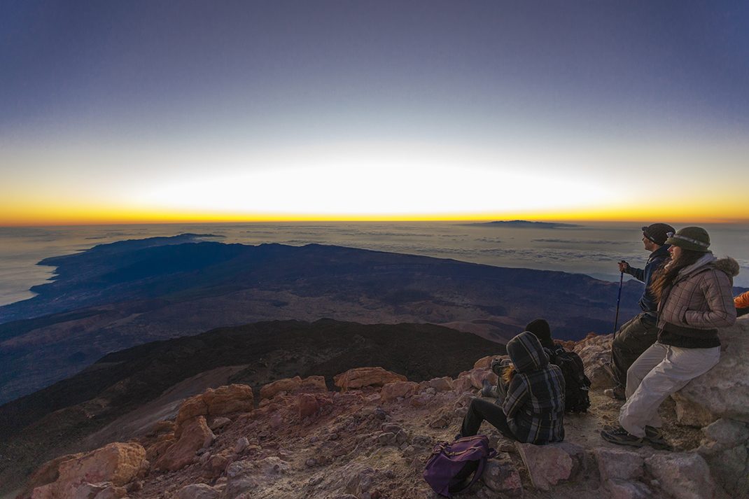
This restricted trail, which you can only do with prior authorisation, will take you from La Rambleta to the summit of Mount Teide.
- Distance
- 0.7 km
- Difficulty
- Medium
- Elevation Gain
- 183 m
- Max Altitude
- 3715 m
- Min Altitude
- 3542 m
- Municipality
- La Orotava
- Start
- La Rambleta
- End
- Pico del Teide
- Type
- 4
Protected area: Monumento Natural del Teide
Route data from the official Cabildo de Tenerife trail network.All Tenerife Routes