EN▾
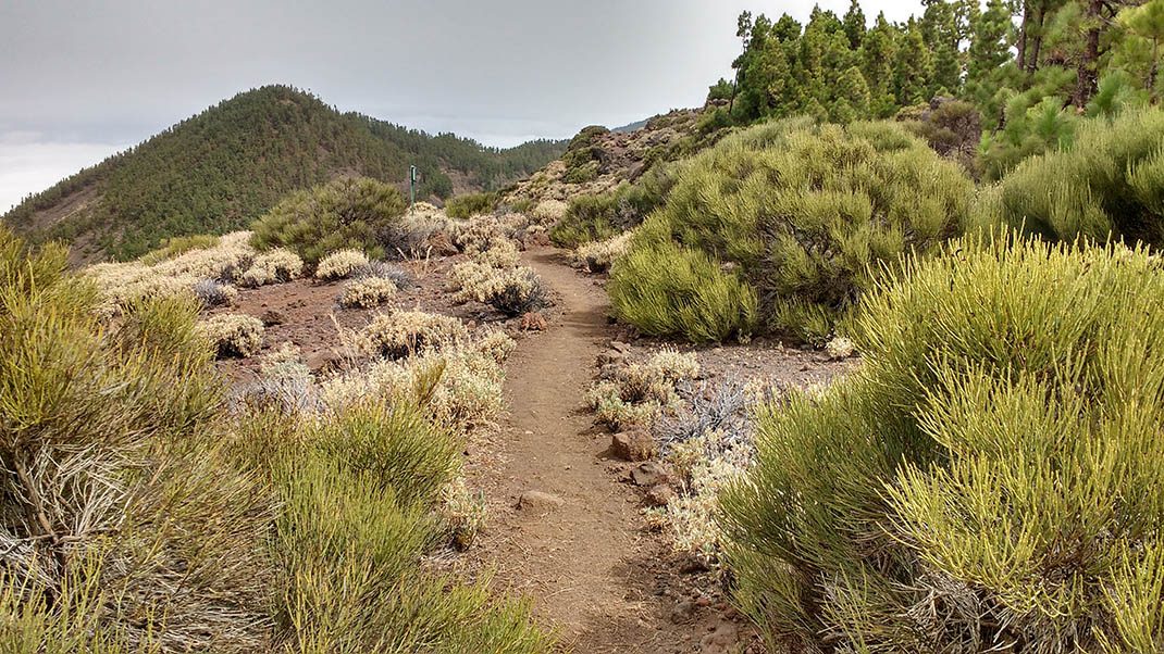
PNT 17 Igueque
PNT-17Hiking
This trail features contrasting views of the south side of the island, with Güimar Valley as the main feature, and the north side featuring the spectacular Orot
- Distance
- 2.7 km
- Difficulty
- Medium
- Elevation Gain
- 72 m
- Max Altitude
- 2240 m
- Min Altitude
- 1980 m
- Municipality
- Arafo, Güímar, La Orotava
- Start
- PK 33, 3 de la carretera TF-24
- End
- La Crucita (PK 30 de la carretera TF-24)
- Type
- 4
Protected area: Parque Nacional del Teide, Parque Natural de Corona Forestal
Route data from the official Cabildo de Tenerife trail network.All Tenerife Routes