EN▾
PNT 19 Majúa
PNT-19Hiking
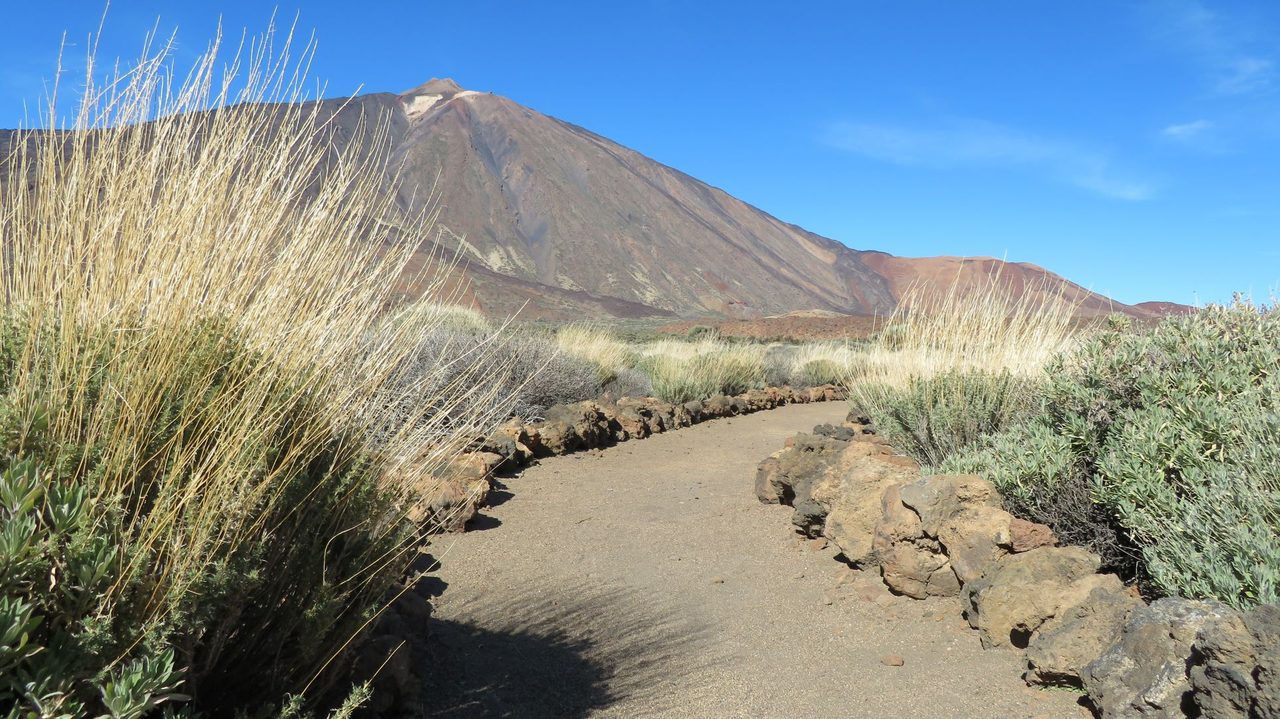
This trail descends gently down the slopes of Mount Teide to the Parador, located in the middle of the area known as Cañada Blanca.
- Distance
- 4.2 km
- Difficulty
- Low
- Elevation Gain
- 20 m
- Max Altitude
- 2295 m
- Min Altitude
- 2148 m
- Municipality
- La Orotava
- Start
- PK 43, 3 de la carretera TF-21
- End
- Parador de Las Cañadas
- Type
- 4
Protected area: Parque Nacional del Teide
Route data from the official Cabildo de Tenerife trail network.All Tenerife Routes