EN▾
PNT 25 Recibo Quemado
PNT-25Hiking
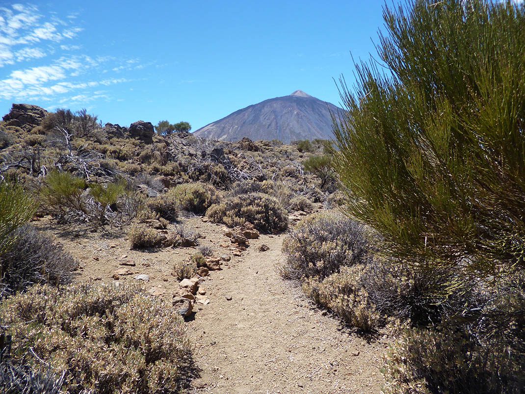
This trail runs along a short section of one of the old footpaths leading up from the Orotava Valley to the mountain pastures.
- Distance
- 1.8 km
- Difficulty
- Low
- Elevation Gain
- 186 m
- Max Altitude
- 2076 m
- Min Altitude
- 1898 m
- Municipality
- La Orotava, Los Realejos
- Start
- PK 29,7 de la carretera TF-21 (El Recibo Quemado)
- End
- Cruce con los senderos nº 1 La Fortaleza y nº 22 Lomo Hurtado
- Type
- 4
Protected area: Parque Nacional del Teide, Parque Natural de Corona Forestal
Route data from the official Cabildo de Tenerife trail network.All Tenerife Routes