EN▾
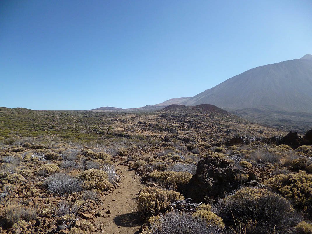
PNT 33 Montaña Negra
PNT-33Hiking
This trail runs along the upper section of an old footpath from La Guancha, San Juan de La Rambla and Icod el Alto.
- Distance
- 3.2 km
- Difficulty
- Low
- Elevation Gain
- 204 m
- Max Altitude
- 2132 m
- Min Altitude
- 1984 m
- Municipality
- La Guancha, La Orotava, San Juan de la Rambla
- Start
- Sendero nº 1 cerca de La Cuesta de La Fortaleza
- End
- Sendero nº 22 sobre el Llano de Las Brujas
- Type
- 4
Protected area: Parque Nacional del Teide
Route data from the official Cabildo de Tenerife trail network.All Tenerife Routes