EN▾
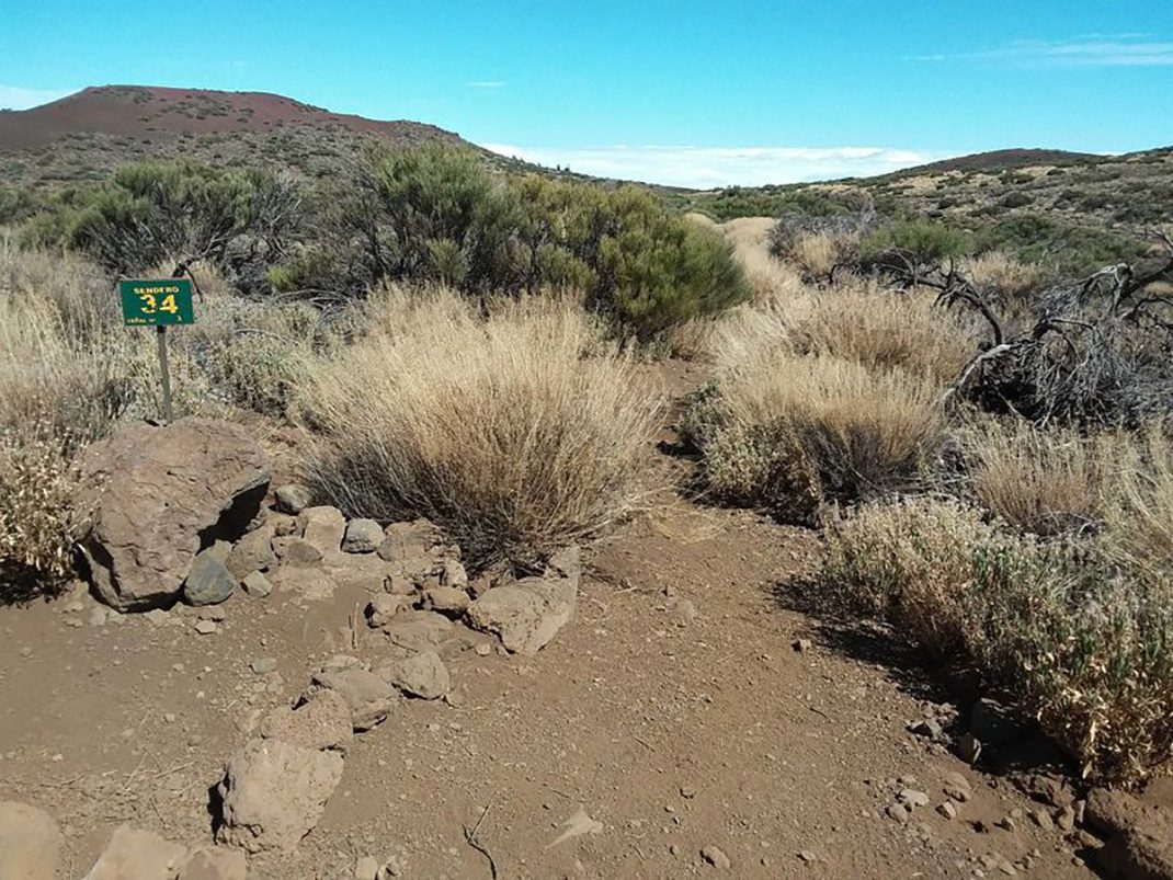
PNT 34 Montaña Limón
PNT-34Hiking
This short trail runs along an old footpath that used to link the two great valleys of Güímar and La Orotava.
- Distance
- 1.3 km
- Difficulty
- Low
- Elevation Gain
- 1 m
- Max Altitude
- 2097 m
- Min Altitude
- 1999 m
- Municipality
- La Orotava
- Start
- Donde el Sendero nº 21 abandona la pista para subir hacia El Mal Abrigo y Yegüa Blanca
- End
- Límite del parque nacional, ladera norte de Montaña Limón
- Type
- 4
Protected area: Parque Nacional del Teide, Parque Natural de Corona Forestal
Route data from the official Cabildo de Tenerife trail network.All Tenerife Routes