EN▾
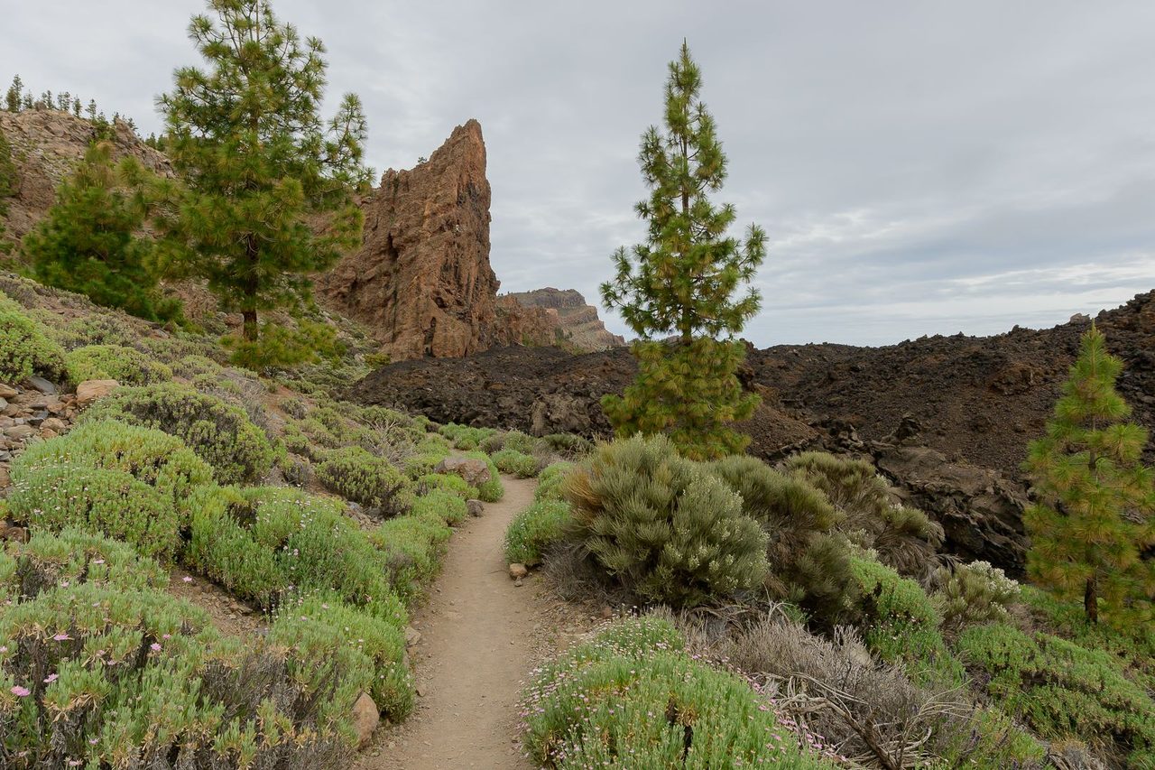
PNT 35 Boca Chavao
PNT-35Hiking
This trail used to be the main way up to the top of the island for the inhabitants of Isora, with branches leading to it from various hamlets.
- Distance
- 0.7 km
- Difficulty
- Low
- Elevation Gain
- 7 m
- Max Altitude
- 2078 m
- Min Altitude
- 1963 m
- Municipality
- Guía de Isora
- Start
- Sendero nº 18 en la Boca de Chavao
- End
- Límite del parque nacional, en la pista forestal de Iserse, junto a la Fuente de Chavao
- Type
- 4
Protected area: Parque Nacional del Teide, Parque Natural de Corona Forestal
Route data from the official Cabildo de Tenerife trail network.All Tenerife Routes