EN▾
PNT 38 Cuevas Negras
PNT-38Hiking
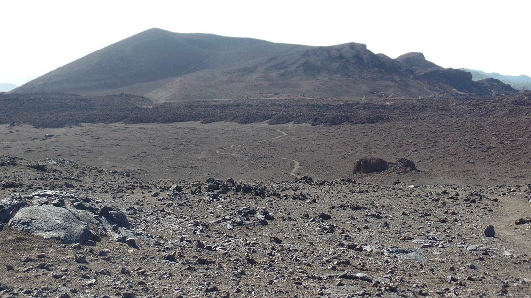
This trail connects the lower section of trail PNT 09 (Teide - Pico Viejo - Narices del Teide Viewpoint) with PNT 13 (Sámara) at its highest point.
- Distance
- 2.1 km
- Difficulty
- Medium
- Elevation Gain
- 75 m
- Max Altitude
- 2226 m
- Min Altitude
- 2101 m
- Municipality
- Guía de Isora
- Start
- Sendero nº 9 debajo del Lomo de Chío, junto a un antiguo asiento de colmenas)
- End
- Sendero nº 13 por encima del Volcán de La Botija
- Type
- 4
Protected area: Parque Nacional del Teide
Route data from the official Cabildo de Tenerife trail network.All Tenerife Routes