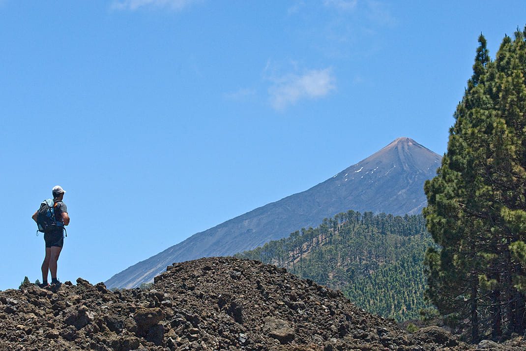
PR TF 43 Garachico - Chinyero
PR-TF 43Hiking
This route, which starts in Garachico, a town popular with tourists, offers you the opportunity to walk among volcanoes.
- Distance
- 19 km
- Difficulty
- High
- Elevation Gain
- 1810 m
- Max Altitude
- 1540 m
- Min Altitude
- 15 m
- Municipality
- El Tanque, Garachico, Santiago del Teide
- Start
- Núcleo Garachico
- End
- Chinyero
- Type
- 4
Protected area: Paisaje Protegido Acantilados de La Culata, Parque Natural Corona Forestal, Reserva Natural Especial Chinyero
Route data from the official Cabildo de Tenerife trail network.All Tenerife Routes