EN▾
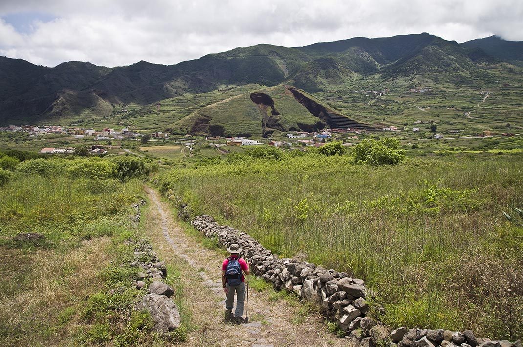
PR TF 57 Callejón de Teno
PR-TF 57Hiking
The Callejón de Teno trail is an old camino real (“royal road” or main island route) that used to link El Palmar and Teno Alto.
- Distance
- 3.9 km
- Difficulty
- Medium
- Elevation Gain
- 453 m
- Max Altitude
- 830 m
- Min Altitude
- 530 m
- Municipality
- Buenavista del Norte
- Start
- Carretera Buenavista - TF-436
- End
- Teno Alto
- Type
- 4
Protected area: Parque Rural de Teno
Route data from the official Cabildo de Tenerife trail network.All Tenerife Routes