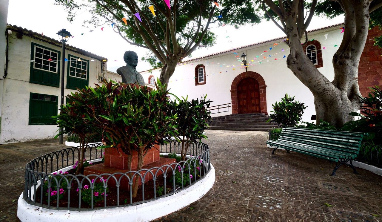
Taganana Interpreted Loop Trail
SIA-PRA-01Hiking
This trail leads you into Taganana, an old village with a fascinating past linked to the economic cycles of sugar and wine exportation.
- Distance
- 1.1 km
- Difficulty
- Low
- Elevation Gain
- 88 m
- Max Altitude
- 225 m
- Min Altitude
- 155 m
- Municipality
- Santa Cruz de Tenerife
- Start
- Cruce Camino La Cuestilla con Vía Caserío El Cabezo
- End
- Cruce Camino La Cuestilla con Vía Caserío El Cabezo
Protected area: Parque Rural de Anaga
Route data from the official Cabildo de Tenerife trail network.All Tenerife Routes